Mobileye to map road data in collaboration with Ordnance Survey

[ad_1]
Mobileye, an Intel Company
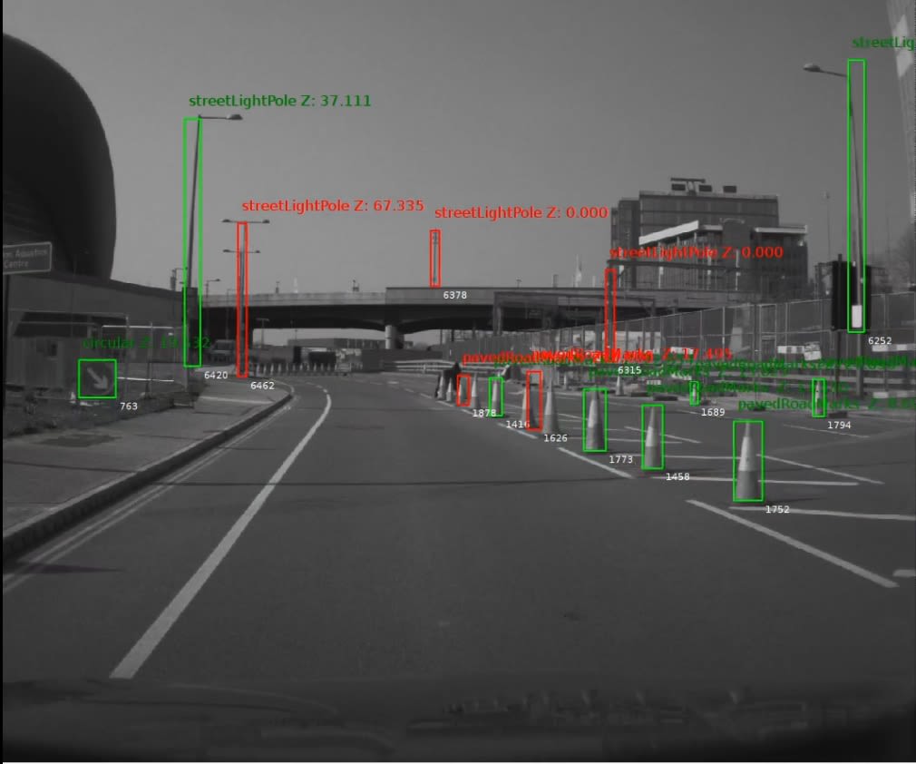
Ordnance Survey (OS) and Intel subsidiary Mobileye have launched trials to map roadside infrastructure in Britain.
In an announcement Tuesday, Ordnance Survey – the national mapping agency of Britain – said its work with Mobileye would “unlock the innovation of artificial intelligence-powered automotive technology for an array of markets.”
The collaboration will see vans and cars fitted with automotive camera-based mapping technology from Mobileye, which specializes in technologies for advanced driver assistance systems and autonomous driving. Mobileye was acquired by Intel for $15.3 billion in 2017.
The vehicles will be able to capture a host of data, detecting, processing and sending it to the cloud to be aggregated, after which it will be sent to OS. The technology will be able to recognize and classify everything from traffic lights and road signs to road markings, drainage grates and bollards.
OS said the trials would “lay the groundwork” for data and infrastructure asset monitoring services from itself and Mobileye. Customers would come from many markets, such as the energy and infrastructure sectors and connected and autonomous vehicles and 5G.
The trials will see vehicles from the Northumbrian Water Group retrofitted with Mobileye technology to record data in the north east of England.
The interim CEO of OS, Neil Ackroyd, said that the collaboration would further enhance its “commitment to supporting Britain as a world-leading center for digital and tech excellence.”
“The initial trials are already delivering a deeper and richer level of data capture which we are confident will bring added value to our customers and become an important dataset for emerging markets, and a building block for Britain’s infrastructure for many years,” Ackroyd added.
Source link


